 Captain Segull's Nautical Charts™ Captain Segull's Nautical Charts™
#HTK42
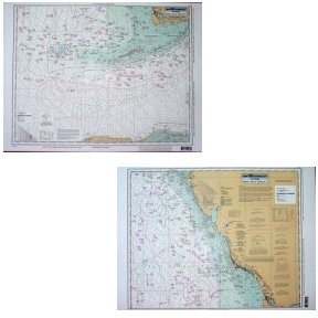
Havana, Cuba to Tampa, FL
High quality, laminated, waterproof and in full color. Average
chart size is 19" x 26". Offshore chart covering 90 to 100 miles out. Side A, south from Havana, Cuba, the Straits of Florida east to Florida Bay, north to Whitewater Bay. Side B, from NW Cape north to Tampa Bay, FL. All charts include wrecks, reefs, shoals, fishing areas, amenities and restrictions. For Bathymetric chart, KWM44, For Nearshore charts in this area please refer to TAM40, CHA39, NAP38, FAS36 and SRD37, Inshore charts in the Keys, KEY121 and KW122 and Tampa Bay TMB135
An order for multiple charts still ships at $7.95 total, for all charts.
Additional charges of $7.95 per chart will appear in your cart and your final
invoice screen, however the correct amount will be charged to your credit card.
|

Captain Segull's Nautical Charts™


