 Captain Segull's Nautical Charts™ Captain Segull's Nautical Charts™
#IC209
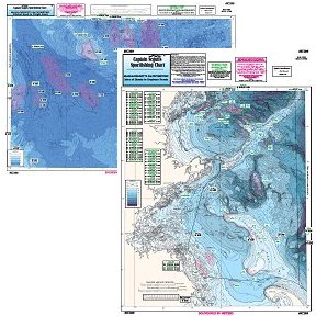
MA/Cashes Ledge Bathymetric
High quality, laminated, waterproof and in full color. Average
chart size is 19" x 26". Nearshore Bathymetric Chart side A: Isle of Shoals, New Hampshire to Duxbury Beach, MA, east to Wildcat Knoll with Stellwagen Bank. Side B: Wildcat Knoll to Wright Swell, north to Cashes Ledge to Franklin Swell. All charts include GPS coordinates, wrecks, reefs, shoals, fishing areas, amenities and restrictions. You should use this chart in Conjunction with GMM17, NS101, BH102.
An order for multiple charts still ships at $7.95 total, for all charts.
Additional charges of $7.95 per chart will appear in your cart and your final
invoice screen, however the correct amount will be charged to your credit card.
|