 Captain Segull's Nautical Charts™ Captain Segull's Nautical Charts™
#OFGPS18
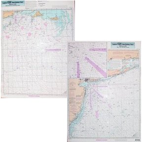
Canyon Chart, MA, RI, CT, NY, NJ
High quality, laminated, waterproof and in full color. Average
chart size is 19" x 26". Offshore canyon chart from side A, Nantucket Shoals to tip of Montauk, NY south to cover all canyons beginning with the
Veatch Canyon. Side B extends from Montauk to Five Fathom Bank off Cape May, NJ, includes a detailed inset of the Ambrose
Channel going into New York. This chart has a sister chart the ONJ19 or ONY59, Off Coastal NY. All charts include GPS coordinates,
wrecks, reefs, shoals, fishing areas, amenities and restrictions. Use this in conjunction with new Bathymetric series AT206, BKL207,
CRM208. Nearshore charts in this area MVN116, SCC103, BB14, PJ13, FIO10, FI105, LI15, SLI107, MP108, & NB104, JH113,
NYH114, NNJ109, SNJ110
An order for multiple charts still ships at $7.95 total, for all charts.
Additional charges of $7.95 per chart will appear in your cart and your final
invoice screen, however the correct amount will be charged to your credit card.
|

Captain Segull's Nautical Charts™


